The name is younger than the routes
The phrase “Silk Road” is not something a merchant on these routes would have recognised. UNESCO states the term is relatively recent: for most of their long history, these routes had no specific name at all.
The label comes from the German geographer Ferdinand von Richthofen, who used Die Seidenstrasse for the overland links between Han China and the Mediterranean. The two accounts do not agree on exactly when: UNESCO places it in the mid-nineteenth century, while the Shaanxi provincial gazetteer office says the late nineteenth century. Either way, the name is a modern convenience, and a misleadingly tidy one.
The man who is credited was not trading
Zhang Qian is often introduced as the man who opened the Silk Road. UNESCO is direct about the correction: the mission usually credited with founding the routes was sent for diplomacy, not for trade. The Han court wanted an alliance against the Xiongnu, not a market.
The Shaanxi provincial gazetteer office gives the sequence. In the second year of the Jianyuan era, 138 BCE, Zhang Qian left Chang’an with a party of a little over a hundred, heading west through Longxi. The Xiongnu captured them. He spent about eleven years in detention before escaping and continuing west, through Dayuan in the Ferghana valley and Kangju in Sogdiana, to the Yuezhi.
The alliance he was sent to secure never happened: the Yuezhi had settled, had a new king and no wish to march back east. Zhang Qian returned to Chang’an in 126 BCE. By the gazetteer’s count the journey had taken thirteen years.
What he brought back instead
The mission failed at its stated purpose and succeeded at something else. Zhang Qian returned with detailed knowledge of states, routes and products that no Chinese source had recorded before, and the Han court used it.
In 119 BCE he went west again, and the gazetteer records the scale: three hundred staff, ten thousand head of cattle and sheep, and large quantities of coin and silk. This time the objective was the Wusun, and this time too the alliance did not follow. But his deputies reached Dayuan, Kangju, the Yuezhi, Daxia, Anxi on the Iranian plateau and Shendu in India, and when Zhang Qian came back in 115 BCE the Wusun sent envoys to Chang’an with him.
Sima Qian, writing in the Records of the Grand Historian, called the achievement zaokong — boring through, opening a passage. The gazetteer quotes the line and explains the image: the point was not that a road had been built, but that the two sides now knew of each other.
It was never one road
The familiar picture, a single line running from Chang’an to Rome, is the least accurate part of the story. UNESCO describes the Silk Roads as networks of land and maritime routes, and states plainly that they did not follow a single itinerary: merchants had a range of routes to choose from, by land and by sea.
Which route was usable changed with politics and geography. UNESCO gives the example of merchants from the Roman Empire avoiding Parthian territory, Rome’s enemy, and going north across the Caucasus and the Caspian instead. In Central Asia, river levels on the steppe rose and fell, and sometimes rivers dried up altogether, so the routes moved with them.
Maritime routes were not a footnote to the overland ones. They formed an essential part of the network, linking East and West by sea, and the term carries its own modern label: the spice routes.
Nobody rode the whole way
The image of one caravan plodding from Chang’an to Rome does not match how the trade worked. UNESCO describes what usually happened: individual merchant caravans covered specific sections, pausing to rest and replenish, or stopping altogether and selling their cargo on at points along the way.
That is why trade produced towns. Goods passed through many hands, and the cargo that reached the Mediterranean had been marked up by people who never saw where it started.
The infrastructure was built for stages, not for a single journey. Caravanserais — large inns for travelling merchants — were spaced roughly a day’s journey apart, and UNESCO puts the average at one every thirty to forty kilometres in well-serviced regions. They are found from Turkey to China, and their construction intensified across Central Asia from the tenth century onwards.
What actually moved
Silk gave the routes their modern name, but UNESCO lists far more travelling in both directions: textiles, spices, cereals, fruits and vegetables, animal skins, tools, wood and metal objects, religious items, works of art and precious stones.
The heavier traffic was harder to weigh. Buddhism, Christianity, Islam, Hinduism, Zoroastrianism and Manichaeism all spread along these routes. So did technologies: UNESCO singles out the manufacture of paper and the development of printing, and notes that irrigation systems across Central Asia share features that spread with the knowledge travellers carried.
Cities along the routes grew into centres of learning as well as markets, which is why UNESCO frames the exchange as one of knowledge and belief, not only of goods.
What this means in Xi’an
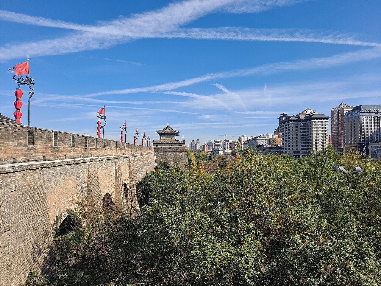
Xi’an is where the eastern end of this network is conventionally placed, and the story is easy to overstate in both directions. The routes did not begin with one man, and Chang’an was not the capital of a single highway. It was one major node in a system that ran for centuries and stayed in use, UNESCO notes, until the nineteenth century.
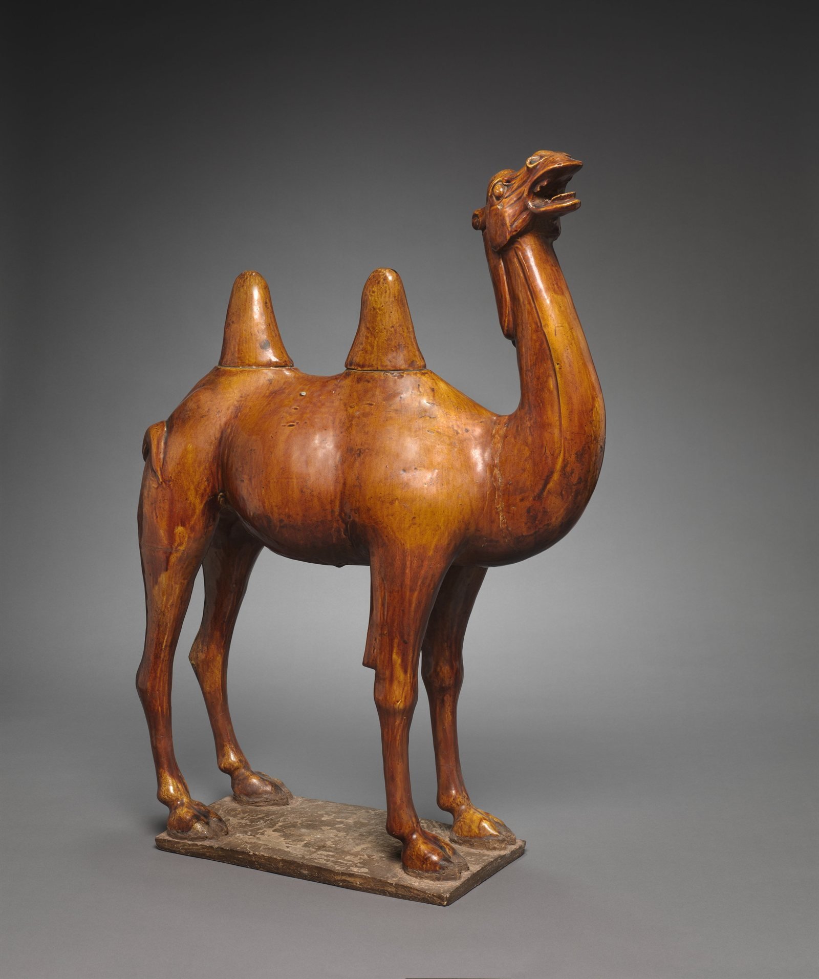
When you look at an object connected with this trade, the useful questions are about date, material, place of discovery and likely origin. A motif can travel without the object moving far, and an object can travel without anyone carrying it the whole distance.
Three articles on this site continue the story: the mission that started it, the Tang capital that became the network’s eastern hub, and the foreign communities who lived inside its walls.